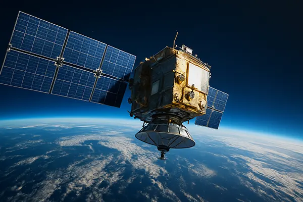
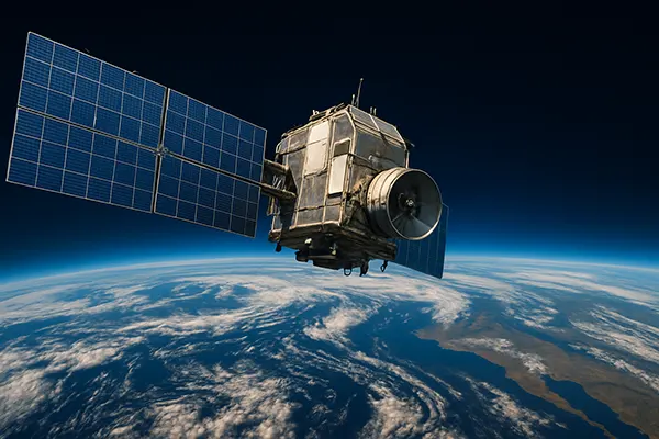
Artificial Satellites for Accurate Climate Forecasting
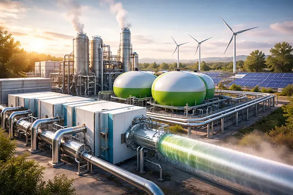
Artificial satellites have become essential tools for understanding and predicting changes in the Earth’s climate. Thanks to rapid technological progress, these satellites now provide highly detailed information about atmospheric conditions, ocean currents, ice coverage, and greenhouse gas levels. Such data allows scientists to build accurate climate models and foresee long-term environmental trends.
Modern Satellite Technologies for Climate Monitoring
Contemporary satellites are equipped with advanced sensors capable of observing the Earth’s surface, atmosphere, and oceans with exceptional precision. They measure temperature variations, sea level fluctuations, and polar ice dynamics, enabling scientists to identify early signs of climate change and assess its potential impacts.
Projects like the European Space Agency’s Sentinel series and NASA’s Aqua mission continuously deliver high-resolution data. Their instruments scan multiple environmental parameters daily, allowing researchers to detect unusual phenomena such as rapid warming, forest fires, or severe storms. This regular monitoring is vital for understanding climate variability.
Artificial intelligence plays an increasingly important role in satellite operations. Integrated AI systems process enormous volumes of satellite data in real time, reducing delays between observation and forecast production. This makes climate analysis faster and more reliable, helping governments and organisations react to threats more effectively.
Key Contributions to Climate Science
Artificial satellites have revolutionised climate science by providing a global view that ground-based stations cannot achieve. They deliver continuous data from remote and inaccessible regions, helping researchers build long-term climate records that are critical for identifying gradual trends.
Satellite data have revealed patterns of ocean circulation, deforestation rates, and glacial retreat. These insights are crucial for understanding how human activity influences natural systems and for predicting future scenarios under different climate policies.
Moreover, satellites help validate climate models by offering real-time observational evidence. Comparing model simulations with satellite measurements ensures greater accuracy in forecasts and strengthens scientific confidence in climate projections.
Climate Forecasting and Early Warning Systems
Satellites are essential for predicting extreme weather events and developing early warning systems. They monitor atmospheric pressure, humidity, cloud formation, and wind dynamics, all of which are vital factors in storm and hurricane forecasting. This data helps save lives by allowing authorities to prepare communities in advance.
Weather forecasting centres around the world rely heavily on satellite imagery. Data from geostationary and polar-orbiting satellites are combined to create accurate short-term and seasonal climate predictions, supporting sectors like agriculture, energy, and water management.
By providing rapid updates during natural disasters, satellites enable emergency teams to assess damage and coordinate response efforts. This role becomes increasingly important as climate change intensifies the frequency and severity of extreme weather events.
Integration with Ground-Based Observation Networks
While satellites deliver broad coverage, they are most effective when combined with ground-based monitoring networks. Weather stations, ocean buoys, and radar systems complement satellite data by providing localised and high-frequency measurements that enhance model accuracy.
Integration between these systems allows scientists to cross-verify data sources. When satellite observations are matched with ground readings, confidence in climate forecasts increases, making decision-making more informed and evidence-based.
International cooperation plays a key role here, as many networks share data globally. This collaborative approach ensures that climate models are built on the widest and most reliable datasets possible.
Future Developments in Satellite Climate Observation
Emerging satellite technologies are set to further transform climate science. Upcoming missions will include miniaturised CubeSats and hyperspectral sensors capable of capturing even finer details of atmospheric composition and surface processes.
These innovations will enable continuous global monitoring at lower costs, making climate observation more accessible for developing countries. More frequent launches will also provide denser time-series data, reducing uncertainty in trend analysis.
Additionally, next-generation satellites will be designed with longer operational lifespans and enhanced onboard processing capabilities. This will allow them to handle larger data flows independently, ensuring faster transmission to scientists and agencies worldwide.
Impact on Climate Policy and Global Cooperation
Improved satellite data will empower policymakers with reliable evidence when designing climate adaptation and mitigation strategies. Governments will be able to base their environmental policies on real-time data, making them more effective and responsive to changing conditions.
Global initiatives like the Paris Agreement depend on accurate climate measurements to track progress toward emission reduction goals. Satellites make it possible to verify whether nations are meeting their commitments, improving transparency and accountability.
Finally, international data-sharing initiatives supported by satellite networks will strengthen global cooperation. By providing equal access to accurate climate information, these systems encourage collective action to combat climate change.